GIS Project Management · 2024–2025
Ogun SDI & LULC Mapping
Background
Ogun State needed a centralized, modern geospatial platform — plus a statewide Land Use/Land Cover (LULC) mapping deliverable on top of it — and a system its own team could run, extend and trust. Delivered by Sivan Design under the Ogun State Economic Transformation Project (OGSTEP) for the Ogun State Government, Nigeria, I served as GIS Project Manager: technical design, leading the development team, and the training that handed the platform to the Ogun SDI team.
Methodology
- Directed the design and deployment of an open-source SDI on GeoNode, GeoServer and PostGIS, hosted on the state's own VMs with OGC-compliant web services (WMS/WFS/WCS).
- Directed design of the Geom Tool — an in-house app that lets surveyors upload survey data and semi-automatically generate cadastral parcel geometry, replacing slow manual digitization with an auditable workflow.
- Led design of the cadastral layers, a statewide Unique Parcel Identifier (UPI) framework, and a bi-directional integration between the SDI and OLARMS (the state's land-administration system).
- Directed the statewide LULC classification, combining Sentinel-2 and high-resolution imagery with field ground control points and temporal change analysis.
- Designed and delivered hands-on training — GIS/QGIS basics, block-drawing, and Administrator Training that handed clear ongoing roles to the four-person Ogun SDI team.
Screenshots
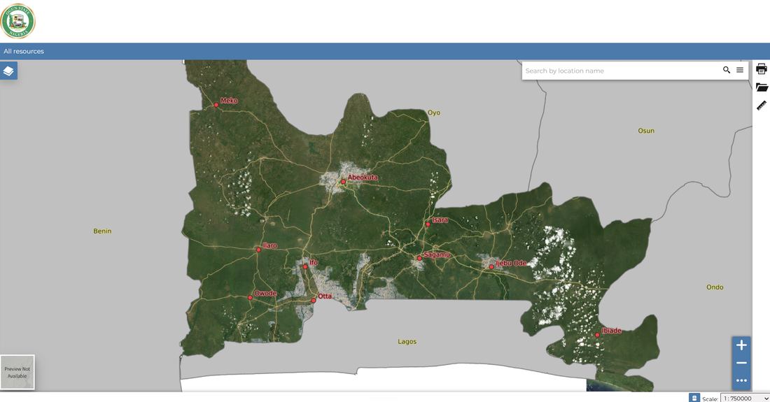
The Ogun SDI web-map portal — a GeoNode-based geoportal giving the state government and the public a browsable view of Ogun's spatial data, including its Local Government Areas.
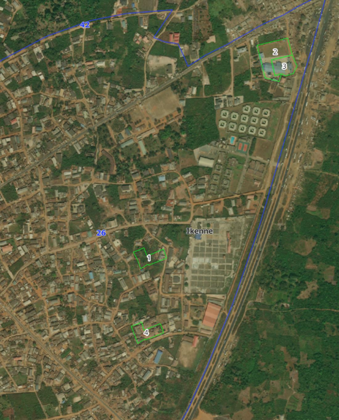
High-resolution imagery covering the state — the raw input layered with Sentinel-2 data and ground control points to produce the statewide LULC classification.
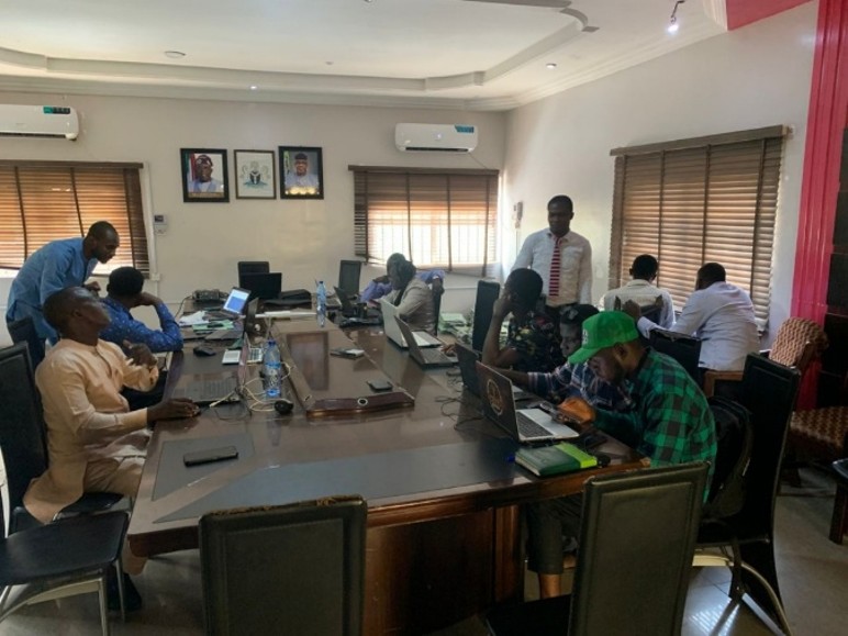
The Administrator Training session — handing the platform over to the Ogun SDI team, role by role.
Project Link
The Ogun SDI geoportal is live and publicly accessible.
Open Ogun SDI →