GIS Project Management · 2025–2026
ZanSDI — Zanzibar Spatial Data Infrastructure
Background
Zanzibar set out to build a Single Source of Truth for its spatial data — one national platform where agencies can share and manage geospatial information, and that planners, researchers and the public can use for evidence-based decisions across land, water, environment and disaster risk. ZanSDI is that platform: a national geoportal for the Revolutionary Government of Zanzibar under the World Bank–funded BIG-Z programme, delivered by Sivan Design. As GIS Project Manager, I lead it end-to-end — from the original field assessment, through system design and development, to the capacity-building programme that hands it to its long-term owners.
Methodology
- Authored the System Design and Deployment Report, defining an open-source stack — GeoNode, GeoServer, Django, PostgreSQL/PostGIS, QGIS — on containerized VMs with secure access controls and a structured permissions model.
- Designed the platform's core data schema and mapped each agency's workflows into concrete use-cases — from syncing business-licence records with the state payment system to a teaching-data portal for the university.
- Ran delivery as an agile process with iterative sprints, stakeholder demos and User Acceptance Testing (UAT) for each agency.
- Authored the ZanSDI Capacity Building Plan — a modular, role-based training programme with a train-the-trainer track for long-term sustainability.
Results
ZanSDI is now live as Zanzibar's national geoportal — agencies use it daily to browse, query and manage harmonised spatial data, while the capacity-building programme transfers ownership to the Zanzibari team that will run it long-term.
Screenshots
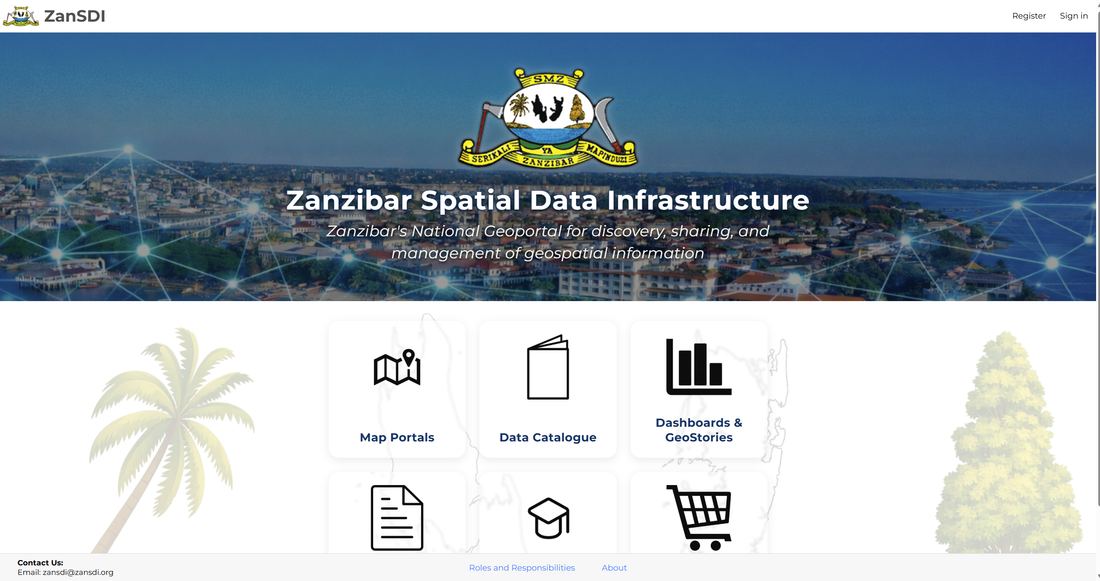
The ZanSDI landing page — the public entry point to Zanzibar's geoportal, linking out to map portals, the data catalogue and dashboards/GeoStories.
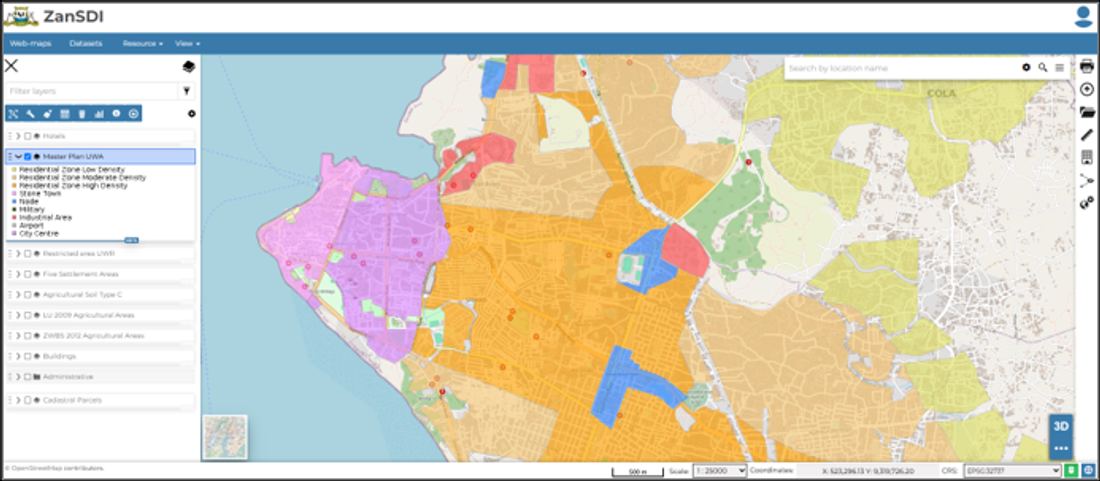
The GeoNode-based web-map portal — agencies and the public can browse, query and overlay the platform's harmonised datasets directly in the browser.
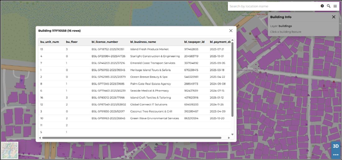
Linked map-and-table view of a building dataset — part of the agency workflows designed to keep records and geometry in sync.
Project Link
ZanSDI is live as Zanzibar's national geoportal.
Open ZanSDI →